The Hotspot Tool
How does the hotspot tool work?
The hotspot tool we use in Ocean Tracks measures the density of points in a particular area. The higher the density of points, the more red the area appears. The lower the density of points, the more green the area appears. Note that if there are no track points in an area, no hotspot color will show up.
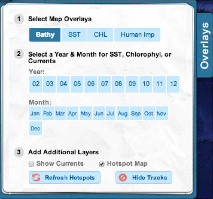
To generate a hotspot map from the tracks you have selected, open the "Overlay" menu on the left side of the screen and click the box next to "Hotspot Map." If you add or remove tracks, you can generate a new hotspot map by clicking the "Refresh Hotspots" button. To turn all the tracks off while viewing the hotspot map, you can click "Turn tracks off." Clicking this button again will turn the tracks back on.

